

Here is the latest high-res model output for the 24-h snow fallending 4 AM tomorrow. Seattle is being protected by Olympic rainshadowing---farther south the rainshadowing weakens..and thus there is light snow. Thus, the south sound will get some light snow as will foothills locations.
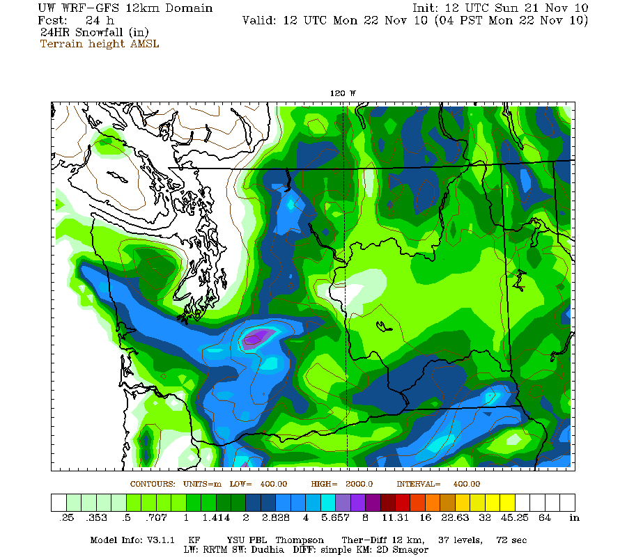 Tomorrow a stronger disturbance will approach, it will increase the flow out of the Fraser and other gaps, and deepen the cold flow so that some will go over the mountains (see graphic). The models indicate that the snow will head south of us (see graphic). But if the models are wrong...you know what can happen. This is close.


Post a Comment